DIGITAL SURVEYING & BUILDING CAPTURE
Accurate digital surveying and reality capture services supporting the measurement, inspection and documentation of buildings and sites.
DIGITAL SOLUTIONS FOR BUILDINGS & PROJECTS
Nodus Digital provides specialist surveying and reality capture services across the property and construction sectors.
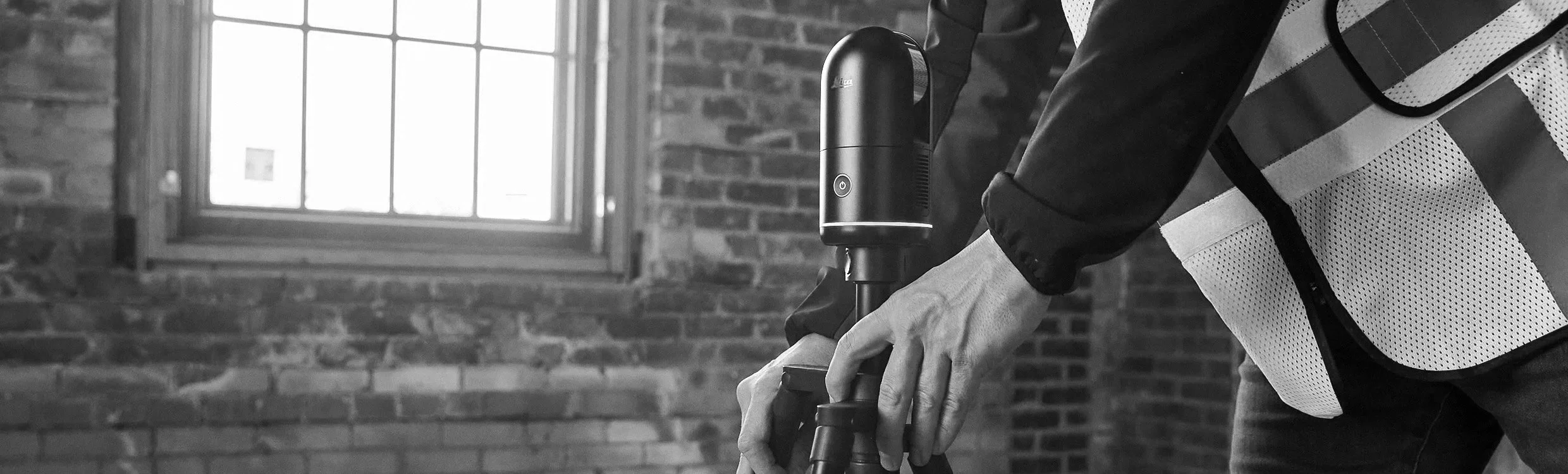
Using 3D laser scanning, 360° imagery and drone technology, we provide accurate spatial and visual information to support the design, inspection and management of existing buildings and sites.
Our surveys are tailored to the requirements of each instruction, with outputs provided in formats appropriate to the client and project team.
SERVICES
-
Accurate measured survey information providing a detailed record of existing buildings and spaces to support design, refurbishment and property projects.
Measured Building Surveys
Accurate surveys of existing buildings providing detailed information on dimensions, layouts and building geometry.
3D Laser Scanning
Detailed three-dimensional capture of existing buildings and spaces using professional laser scanning technology, providing an accurate basis for measured survey information.
Floor Plans
Measured floor plans showing existing layouts, walls, openings and other relevant building information.
Elevations
Accurate internal and external elevations produced from captured survey data to record the existing building and its features.
Sections
Measured building sections providing detailed information on floor levels, heights and the relationship between different elements of a building.
Point Cloud Data
Registered three-dimensional point-cloud data providing a detailed digital record of the surveyed environment for use by architects, designers and other project consultants.
As-Built Surveys
Accurate surveys of existing or completed construction, providing a reliable record for verification, future works and asset information.
-
Comprehensive visual records of buildings and spaces, providing clients and project teams with an accessible way to view and revisit properties remotely.
360° Imagery
Panoramic imagery captures the surrounding environment in detail, creating a comprehensive visual record of a building or space at the time of survey.
Virtual Tours
Interactive virtual tours allow users to navigate through a property remotely, providing an intuitive way to understand existing spaces and their relationship to one another.
Condition Records
Detailed visual documentation of existing conditions, providing a useful record before refurbishment, construction or other building works commence.
Construction Progress Records
Repeat 360° capture can provide a visual record of works throughout a project, allowing progress and site conditions to be reviewed over time.
Remote Site Access
Virtual access allows clients, consultants and project teams to revisit existing spaces without returning to site, supporting communication and coordination throughout a project.
-
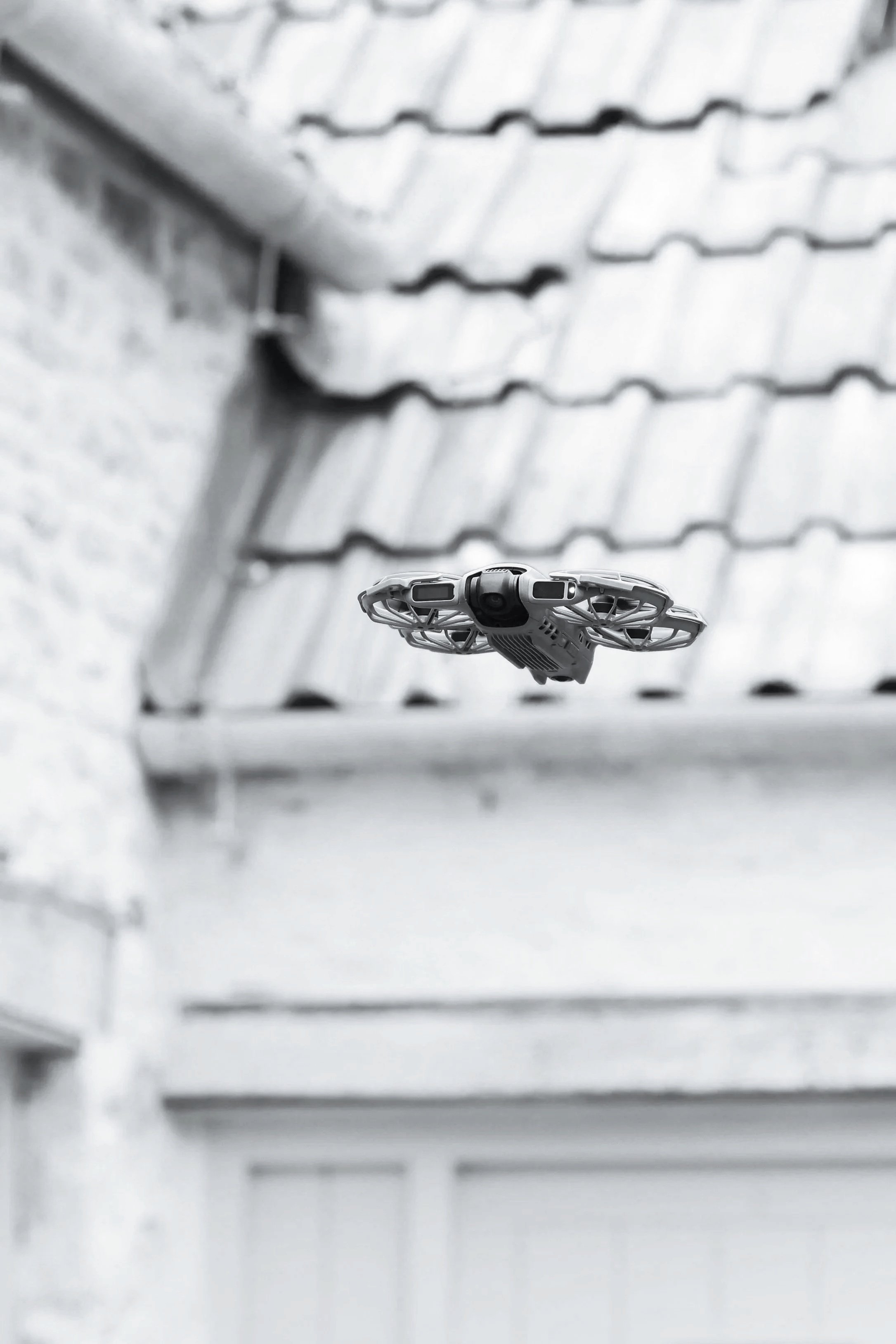
Aerial surveying and high-resolution imagery supporting the inspection, assessment and documentation of buildings, roofs and sites.
Roof Surveys
Detailed aerial inspection of roofs and associated elements, providing visual access to areas that may otherwise require specialist access equipment.
Façade Surveys
High-resolution aerial imagery of external elevations to support the identification, investigation and documentation of defects and building condition.
Building Condition Surveys
Drone imagery can support wider condition assessments by providing detailed visual information from elevated and difficult-to-access areas.
Construction Progress Monitoring
Repeat aerial surveys provide a clear visual record of construction and refurbishment projects as works progress.
Aerial Photography & Site Imagery
High-resolution aerial imagery documenting buildings, sites and their surroundings for surveys, reports, project records and wider property requirements.